Discover A Propensity to Talk Density

A Propensity to Talk Density
Author: Bell Geospace
Subscribed: 0Played: 0Subscribe
Share
© 2021
Description
Welcome to A Propensity to Talk Density, a Bell Geospace Podcast. Bell Geospace has been providing Full Tensor Gravity Gradiometry data to the Oil & Gas and Mining industries since 1994. Tune in for expert insights into the world of survey data.
17 Episodes
Reverse
All aircrafts come equipped with gravimeters for longer wavelengths and deeper targets, for example the GTz gravimeter is capable of detecting less than 1 milli-gal of gravitational field within multiple scenarios. In addition, when required on occasion, the aircraft can carry a Lidar system that tracks terrain corrections with accuracies of 15xm resolution in the Z-axis.With impeccable maintenance and unblemished safety records, you’ll have peace of mind knowing the job will get done as efficiently and securely as possible. Whether it be oil, gas, or minerals, Bell Geo is determined to help solve your next big geological problem. Give that next exploration a thought at www.bellgeo.com/contact-us
South Africa is a ‘treasure chest’ in terms of resources but must overcome challenges to become more attractive to foreign investors.Young people, especially Women, wishing to break into the mining industry in South Africa can have a tough ride, but perseverance pays.Established businesses, like Bell Geospace, can help by providing mentorship and opportunities to young people in South Africa.
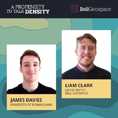
When James Davies, a third-year undergrad geology major from the University of Birmingham, saw BBC footage about a Bell Geospace survey in Cornwall, he got in touch with Bell looking for a potential internship and industry advice. Well, Bell Geo’s Julianne Sharples couldn’t finagle an internship for Davies (yet). Still, she did bring Davies onto A Propensity to Talk Density to pick the brain of Liam Clark, a Geoscientist with Bell Geospace. Clark’s five years in the industry and Master’s Degrees in Geoscience and Economic Geology made him the perfect person to speak with Davies on the career potentials in the geology field.The big question on Davies’ mind and his fellow geology students was what to do with themselves once they graduate. There are so many different exciting paths to go down. Clarke empathized with Davies as he remembered that feeling of getting ready to leave university and wonder what the future held.
When James Davies, a third-year undergrad geology major from the University of Birmingham, saw BBC footage about a Bell Geospace survey in Cornwall, he got in touch with Bell looking for a potential internship and industry advice. Well, Bell Geo’s Julianne Sharples couldn’t finagle an internship for Davies (yet). Still, she did bring Davies onto A Propensity to Talk Density to pick the brain of Liam Clark, a Geoscientist with Bell Geospace. Clark’s five years in the industry and Master’s Degrees in Geoscience and Economic Geology made him the perfect person to speak with Davies on the career potentials in the geology field.The big question on Davies’ mind and his fellow geology students was what to do with themselves once they graduate. There are so many different exciting paths to go down. Clarke empathized with Davies as he remembered that feeling of getting ready to leave university and wonder what the future held.
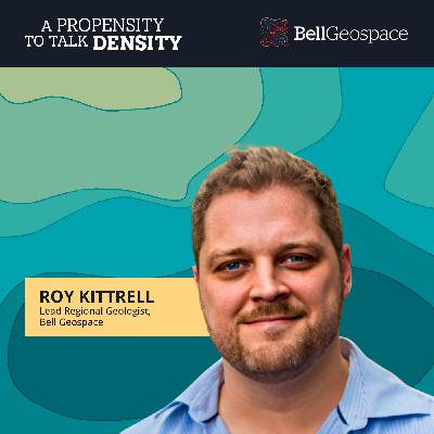
Roy Kittrell, Regional Geologist (Asia Pacific) at Bell Geospace, is a veteran in the oil & gas space. After fifteen years in the industry, Kittrell said he’s worked on everything from core analysis centimeter-scale geology to field scales with geological modeling. So, how did this dual national American/British Geologist find himself working for Bell Geospace in Kuala Lumpur, Malaysia? He sat down with Tyler Kern to fill him in on his journey.For the past five years, Kittrell’s base has been Malaysia, a country he finds rich in national heritage with one of the highest biodiversities of any country. It’s a perfect place for exploration in and outside his duties at Bell Geospace.
Roy Kittrell, Regional Geologist (Asia Pacific) at Bell Geospace, is a veteran in the oil & gas space. After fifteen years in the industry, Kittrell said he’s worked on everything from core analysis centimeter-scale geology to field scales with geological modeling. So, how did this dual national American/British Geologist find himself working for Bell Geospace in Kuala Lumpur, Malaysia? He sat down with Tyler Kern to fill him in on his journey.For the past five years, Kittrell’s base has been Malaysia, a country he finds rich in national heritage with one of the highest biodiversities of any country. It’s a perfect place for exploration in and outside his duties at Bell Geospace.
Bell Geospace’s own Julianne Sharples donned the headset and mic to spotlight some of her essential teammates at Bell Geospace. In this episode, Andrew Searle, Geophysics Field Operator at Bell Geospace, joined Sharples to discuss his journey with Bell. Today, a 28-year veteran of the Royal Navy, Searle works with a small 5-person crew on one of Bell Geo’s three DC3 aircraft to operate the science equipment and acquire and process the survey data. These global geological surveys measure the changes in local gravity and the magnetic fields for various clients. “I’m also involved in coordinating the day-to-day logistics and operations in the field,” Searle said. Operating surveys worldwide must have its challenges, but Searle said Bell Geospace’s processes were well suited to meet any obstacle. Those barriers include getting the aircraft into some countries and working through immigration, customs, and various permitting issues. And while the work can be demanding, Searle said there are also perks like getting the opportunity to see some unique parts of the world. “We were recently in Sri Lanka and Malaysia, so that was nice.” One other perk for Searle is the opportunity to fly inside the Basler DC3, of which he’s a personal fan. “It’s a very reliable and stable platform,” Searle said. “Because we do fly for over six hours, or we can, in the best of conditions, it gives you that extra endurance. It can fly low and slow, and that helps us get better data acquisition.” Sharples noted that, like Searle, many of the survey operators at Bell were ex-military. Searle said that wasn’t a coincidence as his military training made him well-suited to the technical challenges of field survey work and adapting to changing environments and situations.
Bell Geospace’s own Julianne Sharples donned the headset and mic to spotlight some of her essential teammates at Bell Geospace. In this episode, Andrew Searle, Geophysics Field Operator at Bell Geospace, joined Sharples to discuss his journey with Bell. Today, a 28-year veteran of the Royal Navy, Sharples works with a small 5-person crew on one of Bell Geo’s three DC3 aircraft to operate the science equipment and acquire and process the survey data. These global geological surveys measure the changes in local gravity and the magnetic fields for various clients. “I’m also involved in coordinating the day-to-day logistics and operations in the field,” Searle said. Operating surveys worldwide must have its challenges, but Searle said Bell Geospace’s processes were well suited to meet any obstacle. Those barriers include getting the aircraft into some countries and working through immigration, customs, and various permitting issues. And while the work can be demanding, Searle said there are also perks like getting the opportunity to see some unique parts of the world. “We were recently in Sri Lanka and Malaysia, so that was nice.” One other perk for Searle is the opportunity to fly inside the Basler DC3, of which he’s a personal fan. “It’s a very reliable and stable platform,” Searle said. “Because we do fly for over six hours, or we can, in the best of conditions, it gives you that extra endurance. It can fly low and slow, and that helps us get better data acquisition.” Sharples noted that, like Searle, many of the survey operators at Bell were ex-military. Searle said that wasn’t a coincidence as his military training made him well-suited to the technical challenges of field survey work and adapting to changing environments and situations.
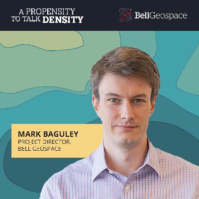
Mark Baguley, Project Director, Worldwide for Bell Geospace, gave host James Kent a peak under the subsurface of geophysical survey operations to reveal the data potential today’s airborne surveys can provide. Bell Geospace’s fleet of three BT-67 DC3 aircraft captures geophysical data. Downloading and data occur on the ground after daily survey mapping completes. “Lots of things happening concurrently, but the exciting part is in the field when you get to fly and collect the data,” Baguley said. The surveys typically occur between 80-300 meters off the ground. “Eighty is our minimum for safety, and that’s over land,” Baguley said. “In terms of the equipment, we’re acquiring full tensor gravity gradiometry as our main acquisition, and then we also acquire gravity and magnetics alongside that.” Daily data capture will vary based on the different parameters of a particular survey, but on a good day, Baguley said they look to acquire 1,200-line kilometers offshore and 800 onshore. Weather and travel distance to a survey site are a couple of factors that play into these numbers, and 800 offshore and 500 onshore might represent a more typical data-gathering day. And processed data is usually available 24-hours after a survey flight. Baguley said sometimes there isn’t much information available before the survey occurs. When a survey takes place towards the beginning of a project, there may not be a lot of pre-existing data about that area available. And when the survey occurs later in a project, there might be a lot of captured data to utilize. “We can work with both of those scenarios, but the more information we have, the better for survey design,” Baguley said.
Mark Baguley, Project Director, Worldwide for Bell Geospace, gave host James Kent a peak under the subsurface of geophysical survey operations to reveal the data potential today’s airborne surveys can provide. Bell Geospace’s fleet of three BT-67 DC3 aircraft captures geophysical data. Downloading and data occur on the ground after daily survey mapping completes. “Lots of things happening concurrently, but the exciting part is in the field when you get to fly and collect the data,” Baguley said. The surveys typically occur between 80-300 meters off the ground. “Eighty is our minimum for safety, and that’s over land,” Baguley said. “In terms of the equipment, we’re acquiring full tensor gravity gradiometry as our main acquisition, and then we also acquire gravity and magnetics alongside that.” Daily data capture will vary based on the different parameters of a particular survey, but on a good day, Baguley said they look to acquire 1,200-line kilometers offshore and 800 onshore. Weather and travel distance to a survey site are a couple of factors that play into these numbers, and 800 offshore and 500 onshore might represent a more typical data-gathering day. And processed data is usually available 24-hours after a survey flight. Baguley said sometimes there isn’t much information available before the survey occurs. When a survey takes place towards the beginning of a project, there may not be a lot of pre-existing data about that area available. And when the survey occurs later in a project, there might be a lot of captured data to utilize. “We can work with both of those scenarios, but the more information we have, the better for survey design,” Baguley said.
Gravity and density are both critical to mineral explorers. The art of measuring variations in it, called gravity gradiometry, is of key importance to the oil and gas and mining industries.
Identifying faults is paramount to evaluating geothermal resources. Full Tensor Gradiometry (FTG) can be used to quantify subtle changes in density contrast associated with faulting.
A Propensity to Talk Density tapped three “rock stars” in the geophysical and geology space to discuss the importance of carbonates. Lending their thoughts and expertise were Colm Murphy, Chief Geoscientist at Bell Geospace, Graham Banks, Founder of Route to Reserves, and Jean Hsieh, Geoscientist for Sedimentary Geologist Consultants.
Gravity and density are both critical to mineral explorers. The art of measuring variations in it, called gravity gradiometry, is of key importance to the oil and gas and mining industries.


