Discover Mapping The Conversations

Mapping The Conversations
Author: Valrie Grant
Subscribed: 4Played: 132Subscribe
Share
© Valrie Grant
Description
Welcome to Mapping The Conversation, the podcast hosted by geospatial scientist, author, and entrepreneur Valrie Grant. Join us as we explore the world of geospatial technology and how it empowers businesses to seize new opportunities.
In each episode, we engage in insightful conversations with influential figures and changemakers in the geospatial industry. Discover how location intelligence shapes business progress and unlocks growth. If you're seeking valuable insights and innovative strategies to thrive in today's dynamic business landscape, this podcast is your guide to success.
In each episode, we engage in insightful conversations with influential figures and changemakers in the geospatial industry. Discover how location intelligence shapes business progress and unlocks growth. If you're seeking valuable insights and innovative strategies to thrive in today's dynamic business landscape, this podcast is your guide to success.
40 Episodes
Reverse
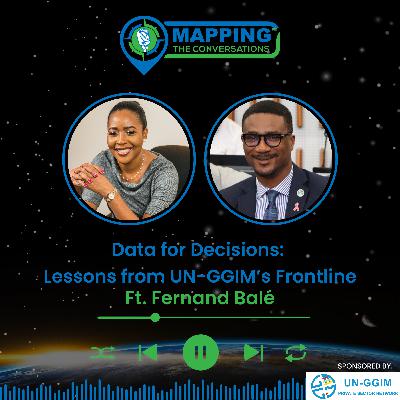
In this episode of Mapping the Conversations, host Dr. Valrie Grant is joined by Fernand Balé, Director of Côte d’Ivoire’s Center for Geospatial Information & Digital and former Co-Chair of the United Nations Committee of Experts on Global Geospatial Information Management (UN-GGIM). Together, they unpack how global geospatial frameworks move from concept to impact — transforming decision-making, governance, and resilience on the ground.Fernand shares his journey in the geospatial sector and his leadership role at UN-GGIM, offering insights into the evolution of global geospatial governance and what it takes to strengthen national and regional geospatial ecosystems. The conversation explores the critical importance of geodesy — the invisible infrastructure underpinning everything from navigation and finance to disaster response.They also discuss how the United Nations Integrated Geospatial Information Framework (UN-IGIF) is beingtranslated into local action, the importance of centers of excellence and regional reference frames, and how South–South cooperation can accelerate capacity building and innovation. Fernand shares compelling examples, including how Côte d’Ivoire is using AI to map deforestation cost-effectively, illustrating the power of data-driven solutions for national development.Whether you’re a policymaker, geospatial professional, or just curious about how data shapes decisions, this episode offers invaluable lessons from the frontline of global geospatial leadership.Join us for this insightful conversation as we explore howglobal geospatial initiatives translate into national impact. Connect with Us:Host : Valrie Grant: LinkedInMapping the Conversations: Mapping TheConversations | GIM International (gim-international.com) | LinkedInDon’t forget to subscribe to Mapping the Conversationsfor more episodes with leading voices in geospatial innovation and resilience — and leave a review to let us know what you think!
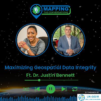
Dr. Justin Bennett — 26-year DoD geospatial veteran, repeat entrepreneur and DBA joins Mapping the Conversations to unpack what really drives successful geospatial programs. He explains how interoperability improves data integrity, introduces his Geo IQ maturity ideas, and explores how Geo AI is reshaping geospatial research and practice.They dive into:Justin’s journey: USAF → federal mapping roles → serial entrepreneurship → doctorate and new venture Why standards & interoperability should be your first investment to improve data integrityGeo IQ — a simple, actionable maturity lens for measuring organisational geospatial capabilityEntrepreneurship lessons from the field: “Do things people can’t do or don’t want to do.” The human side of mapping — curiosity, craft, and how diving became a mirror for Justin’s work Who should listen: practitioners building geospatialcapacity, data managers wrestling with messy datasets, geospatial entrepreneurs, and anyone curious about where Geo-AI meets real-world practice.Tune in and discover how better standards, a practical maturity lens, and smart AI augmentation can turn messy geospatial data into decisions that matter. Connect with Us:Host : Valrie Grant: LinkedInMapping the Conversations: Mapping The Conversations | GIM International (gim-international.com) | LinkedIn Don't forget to subscribe to Mapping the Conversationsfor more episodes featuring leading voices in geospatial science and innovation. Leave your feedback and tune in for our next episode!
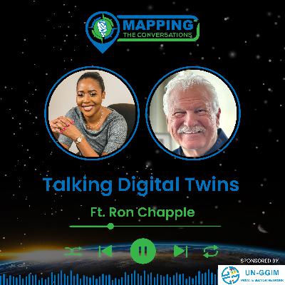
In this episode of Mapping the Conversations, hostDr. Valrie Grant sits down with Ron Chapple, VP of Global Strategic Solutions at NV5, to explore the evolving world of digital twins, geospatial intelligence, and visual storytelling.Ron brings a rare blend of Emmy-winning visual storytellingand cutting-edge geospatial innovation. From capturing breathtaking aerial cinematography for National Geographic and the BBC to pioneering remote sensing innovations for Pulitzer Prize-winning journalism, Ron’s journey is one ofcuriosity, creativity, and cutting-edge technology.They dive into:Ron’s fascinating transition from photography to LiDAR and geospatial innovationWhat truly makes a digital twin (hint: it’s more than just a pretty 3D map!)The power of immersive visuals in environmental storytelling and stewardshipA behind-the-scenes look at a volcanic digital twin model on Hawaii’s Kilauea, combining LiDAR, live earthquake feeds, and Esri dashboardsOpportunities for interdisciplinary collaboration in geospatial techWhy geospatial is the fabric of all business, and how we must build more inclusive, forward-looking talent pipelinesThe conversation wraps with Ron’s reflections on the creative and technical challenges of building models at scale and why digital twins must be treated as living assets rather thanone-off projects. He emphasizes the need to break down silos, foster cross-sector collaboration, and bring fresh talent—from data scientists to filmmakers—into the evolving geospatial ecosystem.Whether you're a tech enthusiast, policymaker, or storyteller at heart—this episode will reshape how you think about place, pixels, and the planet.Tune in and discover how Ron’s work brings scienceand art together to better understand and prepare for our rapidly changing world.Connect with Us:Host : Valrie Grant: LinkedInMapping the Conversations: Mapping TheConversations | GIM International (gim-international.com) | LinkedInDon't forget to subscribe to Mapping the Conversationsfor more episodes featuring leading voices in geospatial science and innovation. Leave your feedback and tune in for our next episode!
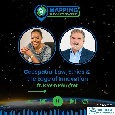
In this eye-opening episode of Mapping the Conversations,host Dr. Valrie Grant sits down with Kevin Pomfret, a leading voice in geospatial law, policy, and ethics. Kevin, a partner at Williams Mullen and adjunct professor at Johns Hopkins University, shares his fascinating journey from satellite imagery analyst to legal expert in the rapidly evolving geospatial field. Together, they explore the intersection of law, technology, and policy in an era where data is abundant and boundaries are constantly shifting.Key Discussion Points:The Balance of Privacy and Innovation: Kevin unpacks the tension between public good and private risk,especially as location data and mapping technologies become ever more embeddedin daily life.AI and the Next Legal Battleground: How AI is challenging traditional legal norms and reshaping the geospatial sector. They discuss how emerging laws and court decisions willhave long-term impacts on geospatial applications and data use.Data Sovereignty & Governance: A deep dive into the growing trend of countries requiring data to remain within their borders—raising complex issues for global geospatialinitiatives and cross-border collaborations.Licensing & Liability Myths: Why data licensing isn’t just paperwork—it’s a manifestation of an organization’s entire business strategy. Kevin dispels common misconceptionsand explains how to navigate licensing complexities.Ethics & Responsibility: A candid discussion on why legal compliance is foundational to ethical practice in geospatial work, and how ethical conversations need to evolve alongside the diversity of the field.The Future of Geospatial Law: hear insights on the upcoming legal hurdles for geospatial professionals, from data governance to international regulation of Earth observation and national security concerns.Kevin’s Book & Future Projects: he shares the inspiration behind his book, Geospatial Law, Policy, and Ethics—designed as a critical resource for students and geospatialpractitioners—and hints at future projects, including potentially creating a “Geospatial Academy” to provide more structured learning on these pressing topics.As Kevin notes, geospatial data was “big data before bigdata was cool.” In an era of digital twins, Earth observation, and AI, geospatial professionals must understand the complex legal landscape that governs their work. This conversation provides not just historical context buta crucial roadmap for navigating what’s next.Tune in for an in-depth conversation that will leave you better equipped to ask the right questions—and to understand the profound role of law, policy and ethics in shaping how we map and manage the world around us.Connect with Us:Host : Valrie Grant: LinkedInMapping the Conversations: Mapping The Conversations | GIM International (gim-international.com) | LinkedIn Don't forget to subscribe to Mapping the Conversationsfor more episodes featuring leading voices in geospatial science and innovation. Leave your feedback and tune in for our next episode!
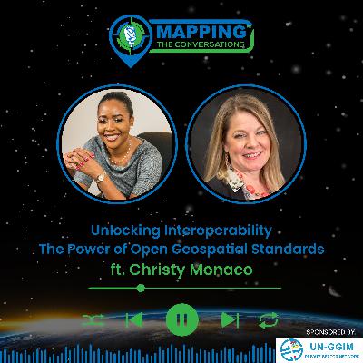
In this episode of Mapping the Conversations, hostDr. Valrie Grant welcomes Christy Monaco, Chief Operating Officer of the Open Geospatial Consortium (OGC). With over 30 years of experience spanning the U.S. intelligence and geospatial community, Christy shares her journey from federal service to leading global geospatial standards for interoperability.Together, they explore how open geospatial standards arehelping to tackle global challenges—from climate resilience to disaster response—and what’s next for OGC as it deepens engagement with underrepresented regions.In This Episode, You'll Learn:Christy’s inspiring career path from naval intelligence to COO of OGCWhy open geospatial standards matter—and how they’re developedThe power of collaboration in solving big challenges like climate change and smart citiesWhat’s planned for the upcoming OGC Member Meeting in Mérida, MexicoNew pathways for participation in the OGCKey Quote:“Let’s approach everything we do with an eye towardmaintaining trust in the information we produce. That’s how we safeguard the integrity of our field.”Upcoming Event:OGC 132nd Member Meeting & Innovation SummitMérida, Mexico | June 9–12, 2025Theme: From Sea to Space – Join global experts in shaping the future of geospatial innovation.Learn More:Open Geospatial Consortium: www.ogc.org Connect with Us:Host : Valrie Grant: LinkedInMapping the Conversations: Mapping The Conversations | GIM International (gim-international.com) | LinkedIn Don't forget to subscribe to Mapping the Conversationsfor more episodes featuring leading voices in geospatial science and innovation. Leave your feedback and tune in for our next episode!
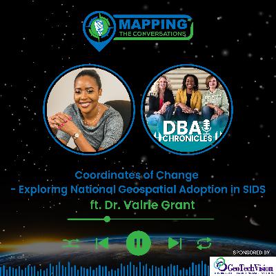
In this special crossover edition, host Dr. Valrie Grant steps into the guest seat as she's interviewed by her colleagues from DBA Chronicles. Fresh off her successful dissertation defense, Dr. Grant unpacks her research: "Factors Influencing National Geospatial Information Management Adoption in Small Island Developing States (SIDS)". This insightful conversation explores how leadership,national innovation systems, and external pressures influence NGIM adoption—and why these dynamics are critical to the future of climate resilience, disasterpreparedness, and sustainable development in SIDS.In this episode we explored:Why a personal quest for renewal sparked a transformative doctoral journey An insider's view into Small Island Developing States (SIDS) and why national geospatial information management is critical for climate resilience, disaster preparedness, and sustainable developmentThe surprises in her researchPractical lessons for governments, policymakers, and change-makersHow academic research can drive real-world impact — and why it mustYou'll also hear heartfelt reflections on balancing practitioner experience with academic rigor, the “aha” moments along the dissertation path, and what’s next for this newly minted doctor and geospatial strategist.Key Quotes:"Effective geospatial governance isn't a luxury for small islands — it's a lifeline.""Real-world change starts with asking the right questions and doing the hard work to find the answers.""Leadership at multiple levels — not just at the top — can make the difference between meaningful progress andstagnation."If you're passionate about data, climate action, innovation, or global equity and SIDS— this episode is a must. It’s notjust a conversation. It’s a call to map a better world.Connect with Us:Host : Valrie Grant: LinkedInMapping the Conversations: Mapping The Conversations | GIM International (gim-international.com) | LinkedIn Don't forget to subscribe to Mapping the Conversations for more episodes featuring leading voices in geospatial science and innovation. Leave your feedback and tune in for our next episode!
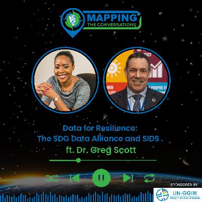
In this episode of Mapping the Conversations, host Dr. Valrie Grant sits down with Dr. Greg Scott, Executive Director of the SDG Data Alliance, for a powerful conversation on thetransformative role of geospatial intelligence in sustainable development — especially for Small Island Developing States (SIDS).From his early days in aerial photography to shaping global geospatial policy at the UN, Dr. Scott brings decades of experience to the table. Now, through the SDG Data Alliance, he’s working to bridge the data divide and empower some of the world’s most climate-vulnerable nations.In This Episode, You'll Learn:The origins and evolution of the SDG Data AllianceWhy the SIDS Global Data Hub could be game-changing for climate resilience and economic developmentReal-world insights from data workshops in the Caribbean and PacificHow storytelling with maps bridges the gap between data scientists and decision-makersWhy collaboration — from local leaders to big tech — is key to unlocking changeKey Quote:“We need to move up the data value chain — from raw data, to insight, to action, to impact.”Tune in:If you're passionate about data, climate action, innovation,or global equity — this episode is a must. It’s not just a conversation. It’s a call to map a better world.Connect with Us:Host : Valrie Grant: LinkedInMapping the Conversations: Mapping TheConversations | GIM International (gim-international.com) | LinkedInDon't forget to subscribe to Mapping the Conversationsfor more episodes featuring leading voices in geospatial science and innovation. Leave your feedback and tune in for our next episode!
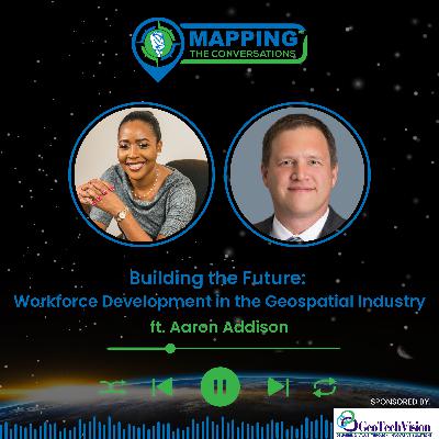
In this episode of Mapping the Conversations, host ValrieGrant sits down with Aaron Addison, Executive Director of the World Geospatial Industry Council (WGIC), for a deep dive into the future of the geospatial workforce and the evolving needs of our rapidly growing industry.Aaron shares insights from his rich career journey—fromfield surveyor to academic, to his current role helping to shape global geospatial collaboration. Together, Valrie and Aaron explore critical topics like bridging the divide between industry and academia, building workforce pipelines, mentorship, and how WGIC is leading efforts to shape policies, partnerships, and professional pathways around the world.In this Episode, you'll learn:How WGIC helps geospatial companies to speak with one voiceWhy collaboration—not competition—is key to industryadvancementThe growing geospatial workforce gap and ideas about steps to fix itThe critical role of mentorship, flexible education models, and upskillingWhy meeting people "where they are" matters increating inclusive geospatial careersHow automation and AI are changing geospatial roles—and what skills will stand the test of time WGIC’s ongoing research into workforce development and future-readiness strategiesThis episode is perfect for Geospatial professionals & students, HR and workforce strategists in tech, policy advocates in digital transformation and anyone curious about the future of work in geospatial industry.Tune In and Explore:How we build a geospatial workforce for the world we want—resilient, inclusive, and ready for the challenges ahead.Connect with Us:Host : Valrie Grant: LinkedInMapping the Conversations: Mapping TheConversations | GIM International (gim-international.com) | LinkedIn Don't forget to subscribe to Mapping the Conversationsfor more episodes featuring leading voices in geospatial science and innovation. Leave your feedback and tune in for our next episode!
Join host Valrie Grant for a powerful conversation with AmyCoughenour Betancourt, the CEO of Cadasta, an organization at the forefront of using geospatial technology to advance land and resource rights for marginalized communities worldwide.In this special episode for Podcasthon, we highlight the transformative power of mapping in securing land tenure rights and socioeconomic security for over 7 million people across 7,000 communities. Amy shares Cadasta’s 10-yearjourney, their impact, and the role of digital mapping and GIS innovation in helping local communities, women, and indigenous groups to gain formal land ownership.What You’ll Learn:The global land tenure crisis – over 1 billion people face insecurity in land ownership How geospatial technology is revolutionizing land rights documentation at scale The success story of women in Brazil, who gained legal ownership of their homes through efforts from Cadasta Why collaborative partnerships with governments, NGOs, and communities are criticalThe future of land monitoring, biodiversity tracking, andsustainable land useWhy This Matters:Land ownership isn’t just about property—it’s about human rights, economic stability, and generational prosperity. Geospatial data is a game-changer in addressing land tenure challenges in developing countries, ensuring women’sempowerment, and protecting vulnerable communities from displacement.Support Cadasta:As part of Podcasthon, we’re raising awareness for Cadasta’sincredible work. Want to help?Donate to Cadasta: cadasta.orgSupport Cadasta’s GoFundMe initiativeFollow & Share: Cadasta on LinkedIn, Instagram, Facebook, and BlueSkyJoin the Movement: Reshare this episode using #MappingTheConversations & #PodcasthonConnect with Us:Host : Valrie Grant: LinkedInGuest: Amy CoughenourBetancourt: https://www.linkedin.com/in/amy-coughenour-betancourt/Mapping the Conversations: Mapping TheConversations | GIM International (gim-international.com) | LinkedInLet’s amplify the power of maps to shape a more just andsustainable worldDon't forget to subscribe to Mapping the Conversationsfor more episodes featuring leading voices in geospatial science and innovation. Leave your feedback and tune in for our next episode!
In this episode ofMapping the Conversations, host Valrie Grant sits down with John Kedar, a globally recognized geospatial strategy advisor and director of John Peter Geospatial Initiatives Limited. With an impressive career spanning the British Army, Ordnance Survey, and advisory roles for governments and international organizations, John has played a pivotal role in shaping national geospatialstrategies across the world.Together, Valrie and John explore the factors influencing National Geospatial Information Management (NGIM)adoption in Small Island Developing States (SIDS), the role of collaboration in geospatial initiatives, and the transformative impact of spatial intelligence.They also discuss the UN Integrated Geospatial Information Framework (UN-IGIF) and its importance in strengthening geospatial maturity in SIDS, as well as the critical role of geospatial data in climate resilience, economic growth, andsustainable development.Key Topics Covered:John Kedar’s career journey—from the British Army to global geospatial leadershipThe shift from map-making to data-driven decision-makingChallenges & opportunities for NGIM adoption in SIDSThe importance of collaboration between governments, private entities, and international organizationsHow SIDS can leverage Earth Observation, AI, and emerging technologies for sustainable developmentThe role of geospatial information in disaster resilience and economic planningThe need for open government data to drive innovation in SIDS If you're passionate about geospatial technology, location intelligence, and how maps shape the world, this is anepisode you won’t want to miss!Connect with Us:Valrie Grant:LinkedInMapping the Conversations:Mapping The Conversations | GIM International (gim-international.com) |LinkedInDon't forget to subscribe toMapping the Conversationsfor more episodes featuring leading voices in geospatial science and innovation. Leave your feedback and tune in for our next episode!
In this insightful episode of Mapping the Conversations, host Valrie Grant sits down with Álvaro Monett, Regional Advisor on Geospatial Information Management at UN-ECLAC. Join us as we explore the evolving landscape of geospatial
information management in Latin America and the Caribbean and its profound impact on regional development.
Álvaro shares his fascinating journey into geospatial sciences, from his childhood fascination with maps to his role at UN-ECLAC, where he plays a key role in strengthening
national geospatial initiatives and advancing the integration of geospatial and statistical data across the region.
What You'll Learn in This Episode:
The Evolution of Geospatial Data Infrastructures (SDIs) in the Region – How countries have built and expanded their geospatial frameworks
The Role of Geospatial Information in Decision-Making – How governments use geospatial data for disaster management, urban planning, and sustainable development
UN-ECLAC’s Support for Geospatial Collaboration – The key initiatives and frameworks that enhance data sharing and promote regional cooperation
Technology & Innovation in Geospatial Science – The latest advancements in geospatial data and their impact on national policy
Bridging the Geospatial Skills Gap – How capacity-building programs are empowering young professionals and strengthening geospatial expertise in Latin America and the Caribbean
Geospatial Contributions to the Sustainable Development Goals (SDGs) – How data-driven insights help track progress and guide decision-making at the regional level
Álvaro also discusses the challenges and opportunities in geospatial governance, the role of the UN-GGIM Americas, and his vision for the future of geospatial data in the region.
Why Listen?
If you're passionate about geospatial intelligence, regional planning, and location-based decision-making, this episode offers expert insights and real-world applications that showcase how geospatial science is transforming the economic, social, and environmental landscapes of Latin America and the Caribbean.
Connect with Us:
Follow Valrie Grant: LinkedIn
Mapping the Conversations: Mapping The Conversations | GIM International (gim-international.com) | LinkedIn
Thank you for tuning in to Mapping the Conversations! If you enjoyed this episode, please rate, subscribe, and share it with others who are passionate about the future of geospatial science and innovation.
In this episode of Mapping the Conversations, host Valrie Grant speaks with Maria Timbawala, President of the Jamaica YouthMappers Chapter and a 2024 YouthMappers Leadership Fellow. Maria shares her journey into the geospatial world, starting with her involvement in campus mapping projects and evolving into her leadership role.
From tackling misconceptions about geospatial science to spearheading impactful mapping initiatives like trail mapping in Holywell and contributing to global
SDG goals, Maria highlights the challenges and opportunities in engaging youth with geospatial technology. She also discusses the role of partnerships, the importance of representation, and her vision for transformative impact on sustainable development in Jamaica and beyond.
Whether you're a geospatial enthusiast or a newcomer, this episode offers valuable insights into the dynamic interplay between technology, youth leadership, and global impact.
Connect with YouthMappers:
Global Instagram: @YouthMappers
Jamaica Chapter Instagram: @uimonayouthmappers
Facebook: YouthMappers
YouTube: YouthMappersChannel
Connect with Us:
Valrie Grant: LinkedIn
Mapping the Conversations: Mapping The
Conversations | GIM International (gim-international.com) | LinkedIn
Join the Conversation:
Have ideas or questions about youth leadership and geospatial innovation? Share them with us on social media.
Thank you for tuning in to Mapping the Conversations! If you enjoyed this episode, please rate, subscribe, and share it with others who are passionate about the future of geospatial technology.
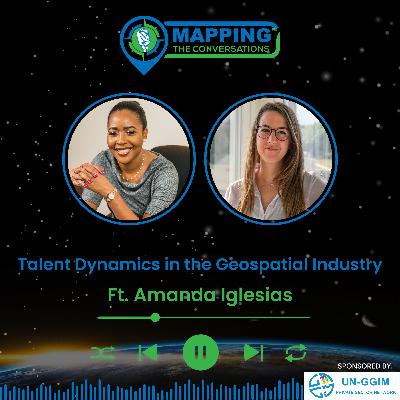
In this episode of Mapping the Conversations, host Valrie Grant welcomes Amanda Iglesias, Software Product
Manager for Mobile Mapping Systems at Leica Geosystems. With nearly a decade of experience, Amanda shares her journey into the geospatial field, her role at Leica, and the exciting innovations shaping the industry.
They discuss the talent challenges in the geospatial sector, strategies to attract and retain young professionals,
and the transformative role of technologies like mobile mapping systems and digital twins. Amanda highlights how companies can adapt to generational shifts, promote diversity, and leverage cutting-edge solutions to empower the next generation of geospatial professionals.
Amanda also shares insights on the evolving role of geospatial technology in digital realities, her inspirations,
and practical advice for aspiring geospatial scientists and technologists.
Whether you’re a seasoned professional or new to the field, this conversation offers valuable perspectives on the
future of geospatial talent and innovation.
Key Takeaways:
Addressing the aging workforce in geospatial sciences
Leveraging advanced technologies to attract digital natives
The importance of partnerships with educational institutions
Strategies for building diverse and inclusive geospatial teams
Follow Amanda Iglesias:
(1) Amanda Iglesias López |LinkedIn
Connect with Us:
Valrie Grant: LinkedIn
Mapping the Conversations: Mapping The
Conversations | GIM International (gim-international.com) | LinkedIn
Thank you for tuning in to Mapping the Conversations! If you enjoyed this episode, please rate, subscribe, and share it with others who are passionate about the future of geospatial technology.
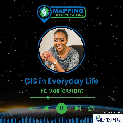
In celebration of GIS Day, this episode of Mapping the Conversations takes a deep dive into the everyday uses of Geographic Information Systems (GIS). Our Host Valrie Grant introduces the episode where she uses Google Notebook LM tool, to craft a special feature exploring how GIS impacts our daily lives—whether it’s mapping disaster response, improving urban planning, tracking climate change, or optimizing logistics. Discover the practical magic of GIS and why it’s an essential tool for understanding and shaping the world around us.
Key Highlights:
What is GIS, and why is it important?
Surprising ways GIS influences your daily life
The power of location: "Everything happens somewhere."
A celebration of GIS professionals and enthusiasts on this global day of recognition
Listen now to learn how GIS bridges the gap between data and decisions, shaping smarter, more sustainable futures!
Happy GIS Day, everyone!
Connect with Us:
Valrie Grant: LinkedIn
Mapping the Conversations: Mapping The Conversations | GIM International (gim-international.com) | LinkedIn
Don't forget to subscribe to Mapping the Conversations and share your thoughts about this episode and your favorite GIS use cases. Let’s keep the conversation going!
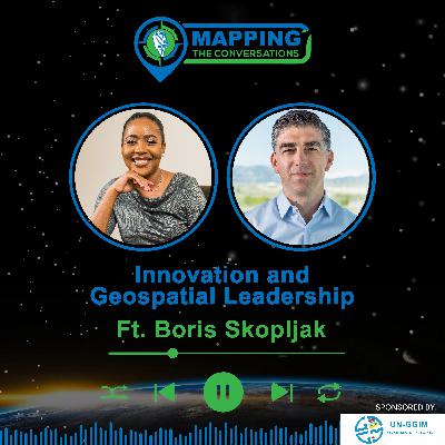
In this insightful episode of Mapping the Conversations, host Valrie Grant sits down with Boris Skopljak, Vice
President of the Geospatial Sector at Trimble, to explore the rapidly evolving world of geospatial technology. With over two decades of experience in surveying and geoinformatics, Boris shares his journey from land surveying in Croatia to his leadership role at Trimble, where he now drives innovation across Trimble's geospatial solutions.
Together, Valrie and Boris delve into some of the most exciting developments in the industry, including:
AI & IoT in Geospatial: How artificial intelligence and the Internet of Things are transforming data collection and processing.
Sensor Fusion & Cloud Integration: The rise of powerful, compact sensors and the role of cloud technology in
enhancing connectivity and collaboration.
Innovative Business Models: Making high-precision geospatial technology more accessible through as-a-service models.
Boris also discusses the critical challenges facing the industry, from workforce shortages to regulatory hurdles,
and the sustainability efforts that Trimble is committed to, aiming for a greener future by reducing their carbon footprint and optimizing resource use across sectors like utilities and transportation.
Join us as we dive deep into the future of geospatial technology with Boris Skopljak. Whether you're a geospatial enthusiast, industry expert, or simply curious about the potential of maps and location intelligence, this episode is packed with insights and future-focused discussions.
Connect with Us:
Valrie Grant: LinkedIn
Mapping the Conversations: Mapping The
Conversations | GIM International (gim-international.com) | LinkedIn
Thank you for tuning in to Mapping the Conversations! If you enjoyed this episode, please rate, subscribe, and
share it with others who are passionate about the future of geospatial technology.
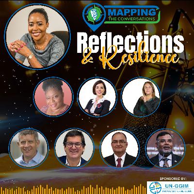
Welcome to a special episode of Mapping the Conversations! As we approach the one-year anniversary of the podcast, we’re taking a moment to reflect on the progress made in the geospatial community over the past year. This episode features an audio montage from some of our guests who have been active in the UN-GGIM mechanism. They share their insights on:
The maturity of the geospatial community over the past year
What they’re most proud of and areas they feel still need improvement
Why the upcoming Seventh High-level Forum on United Nations Global Geospatial Information Management in Mexico City (October 8-10, 2024) is
so important and what they are looking forward to
I also take the opportunity to share my own reflections on
how we’ve become more connected, diverse, and action oriented as a community, especially with increased participation from Small Island Developing States. But as we continue our journey, there’s still more work to do in bridging the digital divide and driving the adoption of National Geospatial Information Management.
Tune in for this thoughtful reflection on the past year even
as we eagerly look forward to the challenges and opportunities ahead.
If you enjoyed this episode, please subscribe, rate, and
share Mapping the Conversations with others. Stay tuned for more insightful discussions on geospatial innovations and how they shape our world!
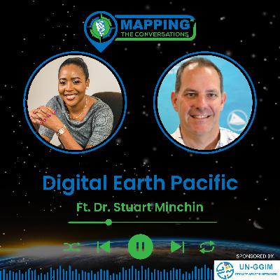
In this episode of Mapping the Conversations, host Valrie Grant speaks with Dr. Stuart Minchin, Director-General of the Pacific Community (SPC), about the impact of geospatial technologies in the Pacific. The discussion spotlights the Digital Earth Pacific initiative, exploring how it harnesses satellite data and technological tools to address pressing issues such as climate change, disaster
preparedness, and sustainable development in the Pacific Island nations.
Dr. Minchin reflects on his career journey, from his beginnings as a water scientist to leading the Pacific
Community. He shares insights into early efforts with Digital Earth Australia and Digital Earth Africa, setting the stage for his approach to Digital Earth Pacific. He highlights a future where Digital Earth Programs serve as the foundation of a Digital Public Infrastructure which is readily accessible.
Listeners will discover how Digital Earth Pacific fosters collaboration among nations and empowers local teams through capacity-building initiatives. Stuart discusses the platform's challenges—including the digital divide that exists in the region, which must be bridged to fully harness the platform’s potential. He, however, emphasizes how Digital Earth Pacific can provide objective data that Pacific nations can use on the global stage to advocate for support, particularly in confronting climate impacts.
Dr. Minchin, a self-proclaimed "spatio-temporal nerd", also discusses the exciting prospects for scaling these digital earth platforms to a planetary level and believes Digital
Earth pacific can contribute to that vision especially in the blue economy, given that 98% of the Pacific is water.
Key Takeaways:
Digital Earth Pacific is a crucial tool for helping Pacific Island nations adapt to climate change and other pressing challenges.
Collaboration and capacity building are essential to the platform’s success, ensuring that local teams are equipped to utilize these advanced technologies.
Public-private-philanthropic partnerships are key to ensuring the long-term sustainability of the platform.
There is immense potential to scale the Digital Earth model globally, particularly in the blue economy.
Learn More:
Visit the Pacific Community’s website to learn more about their initiatives: https://www.spc.int/
Explore the Digital Earth Pacific platform: https://digitalearthpacific.org/
Listen to the full episode for deeper insights into these
transformative topics!
Connect with Us:
Valrie Grant: LinkedIn
Mapping the Conversations: Mapping
The Conversations | GIM International (gim-international.com) | LinkedIn
Don't forget to subscribe to Mapping the Conversations for more episodes featuring leading voices in geospatial science and innovation. Leave your feedback and tune in for our next episode!
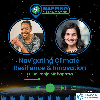
In this insightful episode, host Valrie Grant sat down with Dr. Pooja Mahapatra, a geospatial expert who brings her
passion for addressing global challenges through technology to the forefront. Dr. Mahapatra currently serves as the Principal Advisor for Climate & Nature at Fugro, where she focuses on climate resilience and biodiversity applications.
Dr. Mahapatra shares her inspiring journey from growing up in India with dreams of becoming an astronaut to discovering her passion for geospatial technologies. She
explains how her background in electrical engineering and space science led her to specialize in satellite data and climate change solutions. She discusses how geospatial technologies and remote sensing data are key to tackling the pressing global challenges of climate change and biodiversity loss. She also highlights the importance of
data-driven decision-making in addressing these issues, particularly in the context of the Paris Agreement and the global movement toward climate resilience.
Dr. Mahapatra explores the role of data and artificial intelligence in predictive analytics, emphasizing the
need to move from reactive solutions (post-disaster data analysis) to proactive ones (predictive models that can help prevent disasters). She provides insights into Fugro's innovative projects aimed at achieving net-zero carbon emissions by 2050.
Memorable Quote:
"Climate change is a global problem. You cannot say that it’s limited to the Global North or the Global South. Being exposed to clients and
colleagues from across the planet helps us come up with solutions that are fit
for purpose." — Dr. Pooja Mahapatra
Takeaways:
The critical role of geospatial data in tackling global
challenges like climate change and biodiversity loss.
The importance of collaboration, funding, and sustainable practices in ensuring data accuracy and effectiveness.
How technological advancements, including AI and autonomous vehicles, are transforming the geospatial industry and contributing to sustainability goals.
Listen to the full episode to dive deeper into these
important discussions!
Connect with Us:
Valrie Grant: LinkedIn
Mapping the Conversations: Mapping The Conversations | GIM International (gim-international.com) | LinkedIn
Don't forget to subscribe to Mapping the Conversations for more episodes featuring leading voices in geospatial science and innovation. Leave your feedback and tune in for our next episode!
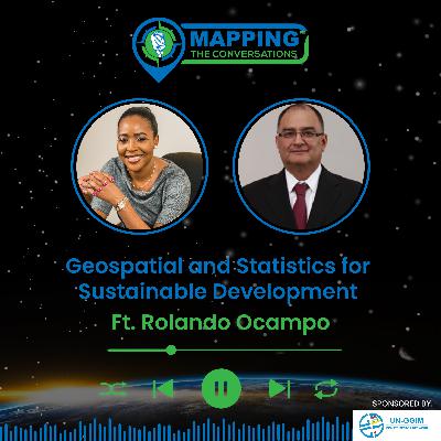
In this episode of Mapping the Conversations, Valrie Grant is joined by Rolando Ocampo, the Chief of the Statistics Division at UN ECLAC, for a deep dive into the intersection of statistics and geospatial intelligence. Rolando shares his journey and extensive experience, including his work at Mexico’s National Institute of Statistics and Geography (INEGI), to his leadership roles
in the geospatial community, including his time as President of UN-GGIM Americas. His journey offers a unique perspective on the vital role that geospatial information plays in national and regional development, particularly in Latin America and the Caribbean. Beyond that his leadership in the geospatial community has had global impact.
Rolando discusses his leadership in mobilizing Caribbean nations to actively participate in global geospatial initiatives, highlighting a landmark capacity-building project that provided satellite imagery and technical support to 13 Caribbean countries. He also details his current work at UN-ECLAC, where he has been instrumental in integrating geospatial information with statistical data, creating an innovative data portal that allows users to visualize and interact with statistical information in new and impactful ways.
Looking to the future, Rolando envisions a world where geospatial and statistical disciplines are seamlessly integrated, driving sustainable development across
the globe. He emphasizes the importance of interoperability, collaboration, and continuous innovation in achieving this vision, while also offering practical
advice for young professionals entering the field. This conversation is a must-listen for anyone interested in the transformative potential of geospatial intelligence and its integration with statistics.
Find More Information on UNGGIM: UNSD — UN-GGIM
Find Geostats info at Geoportal(cepal.org)
Connect with Us:
Valrie Grant: LinkedIn
Mapping the Conversations: Mapping The
Conversations | GIM International (gim-international.com) | LinkedIn
Join us for this insightful episode as we explore the integration of geospatial intelligence and statistical data with Rolando Ocampo. Whether you're a seasoned professional or new to the field, this conversation will provide valuable insights and inspiration. Don't forget to subscribe to Mapping the Conversations for more episodes featuring leading voices in geospatial science and innovation. Leave your feedback and tune in for our next episode!
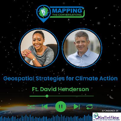
In this engaging episode of Mapping the Conversations, host Valrie Grant sits down with David Henderson, the
Chief Geospatial Officer at Ordnance Survey (OS), for an illuminating discussion on the transformative power of geospatial technologies. Henderson shares his extensive experience, insights, and visionary perspectives on how
these technologies are reshaping industries and driving innovation.
Henderson shares his journey into the geospatial industry, his strategic leadership at Ordnance Survey, and his involvement with international geospatial organizations like the UNGGIM. They discuss the importance of geospatial data in addressing climate challenges,
highlighting key initiatives and projects that leverage this technology for climate action.
David Henderson emphasizes the importance of international collaboration in advancing geospatial capabilities and addressing global challenges. He discusses exciting innovations in the geospatial field and shares his vision for the future role of geospatial data in mitigating climate change over the next decade. He also offers guidance and encouragement to young professionals and those looking to contribute to climate
action through geospatial technologies. This episode is a must-listen for geospatial enthusiasts and anyone passionate about climate action, providing valuable insights and inspiration from a leading voice in the industry.
Find More Information on UNGGIM: UNSD — UN-GGIM
Connect with Us:
Valrie Grant: LinkedIn
Mapping the Conversations: Mapping The Conversations | GIM International (gim-international.com) | LinkedIn
Join us for this insightful episode as we explore the
dynamic world of geospatial science with David Henderson. Whether you're a seasoned professional or new to the field, this conversation will inspire and
inform.
Don't forget to subscribe to Mapping the Conversations for more episodes featuring leading voices in geospatial science and innovation. Leave your feedback and tune in for our next episode!


