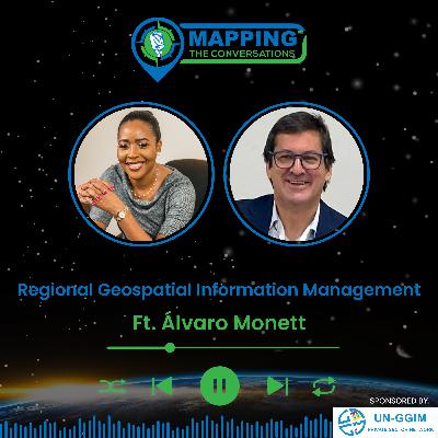
Region Geospatial Information Management with Álvaro Monett
Description
In this insightful episode of Mapping the Conversations, host Valrie Grant sits down with Álvaro Monett, Regional Advisor on Geospatial Information Management at UN-ECLAC. Join us as we explore the evolving landscape of geospatial
information management in Latin America and the Caribbean and its profound impact on regional development.
Álvaro shares his fascinating journey into geospatial sciences, from his childhood fascination with maps to his role at UN-ECLAC, where he plays a key role in strengthening
national geospatial initiatives and advancing the integration of geospatial and statistical data across the region.
What You'll Learn in This Episode:
- The Evolution of Geospatial Data Infrastructures (SDIs) in the Region – How countries have built and expanded their geospatial frameworks
- The Role of Geospatial Information in Decision-Making – How governments use geospatial data for disaster management, urban planning, and sustainable development
- UN-ECLAC’s Support for Geospatial Collaboration – The key initiatives and frameworks that enhance data sharing and promote regional cooperation
- Technology & Innovation in Geospatial Science – The latest advancements in geospatial data and their impact on national policy
- Bridging the Geospatial Skills Gap – How capacity-building programs are empowering young professionals and strengthening geospatial expertise in Latin America and the Caribbean
- Geospatial Contributions to the Sustainable Development Goals (SDGs) – How data-driven insights help track progress and guide decision-making at the regional level
Álvaro also discusses the challenges and opportunities in geospatial governance, the role of the UN-GGIM Americas, and his vision for the future of geospatial data in the region.
Why Listen?
If you're passionate about geospatial intelligence, regional planning, and location-based decision-making, this episode offers expert insights and real-world applications that showcase how geospatial science is transforming the economic, social, and environmental landscapes of Latin America and the Caribbean.
Connect with Us:
Follow Valrie Grant: LinkedIn
Mapping the Conversations: Mapping The Conversations | GIM International (gim-international.com) | LinkedIn
Thank you for tuning in to Mapping the Conversations! If you enjoyed this episode, please rate, subscribe, and share it with others who are passionate about the future of geospatial science and innovation.

