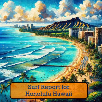
Hawaii Surf Forecast: Exciting Northwest and Southwest Swells Set to Deliver Epic Waves This Weekend
Update: 2025-10-02
Description
Aloha surfers and ocean enthusiasts! The Hawaiian islands are about to light up with some sweet swell action this weekend.
A small north northwest swell has arrived and will continue building today, generating some fun waves along north and west facing shores through Thursday. But hold onto your boards because things are about to get really interesting.
Saturday brings a moderate northwest swell that's going to pump up the volume, peaking late Saturday into Sunday. Expect head-high and potentially overhead waves along many north and west-facing shorelines. This swell will be cranking before gradually fading early next week.
For our south shore riders, a small long period southwest swell will fill in tonight, peak Thursday, and then mellow out through the weekend. Another similar south swell is tracking to arrive late weekend into early next week, keeping things interesting for south shore breaks.
East facing shores are looking pretty mellow, staying below average into early next week.
Specific island forecasts show consistent 2-4 foot surf tonight transitioning to 3-5 foot ranges by Thursday morning across most island sectors. Temperatures will be warm, sitting in the mid to upper 80s with east winds hovering around 5-15 mph.
Weather-wise, expect partly sunny to mostly sunny conditions with scattered showers sprinkled throughout the day. UV index will be very high, so don't forget your sunscreen and stay hydrated.
Sunrise and sunset times are looking perfect for early morning and evening surf sessions, with sunrise around 6:11-6:29 AM and sunset between 6:08-6:25 PM across the islands.
Surf's up, Hawaii! Stay safe, read the conditions, and enjoy the waves!
For more http://www.quietplease.ai
Get the best deals https://amzn.to/3ODvOta
This content was created in partnership and with the help of Artificial Intelligence AI
Comments
In Channel


