UPDATE: QuakeFeed v5.1.0 (with Wildfires!)
Description
*NOT A FULL EPISODE* Just a quick announcement about QuakeFeed v5.1.0, available now in the App Store. This update adds three new features: USA Wildfires, Map Legend, and Aftershock Forecasts.
The USA Wildfires data layer requires a QuakeFeed Premium subscription. While viewing the map, tap on a wildfire symbol to view detailed information, such as: acres burned, percent contained, how many buildings were destroyed, how many firefighters are fighting it, etc.
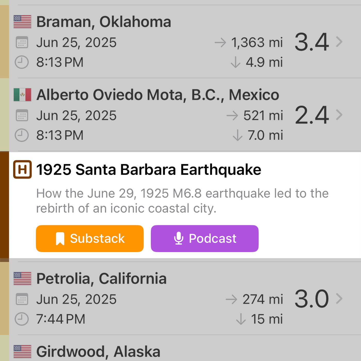
The Map Legend and Aftershock Forecasts features are included in the free / ad-supported version. You will find the Map Legend button in the top right corner of the map. The USGS Aftershock Forecasts are linked in Quake Details. NOTE: The USGS only publishes aftershock forecasts for larger earthquakes. These quakes will include the words "Aftershock Forecast" in the Quake List, to let you know that it is available.
Next month, we will add more more wildfire features to QuakeFeed Premium, such as wildfire alerts and a wildfire list view.
We hope to get back to full podcast episodes soon. We have been coping with a family medical emergency for the past several months. Thank you for your patience and understanding.
We hope you enjoy QuakeFeed v5.1.0. If you have any questions, concerns, or feedback, please tap the ? in the top right corner of QuakeFeed then tap Ask to send us a support email.


