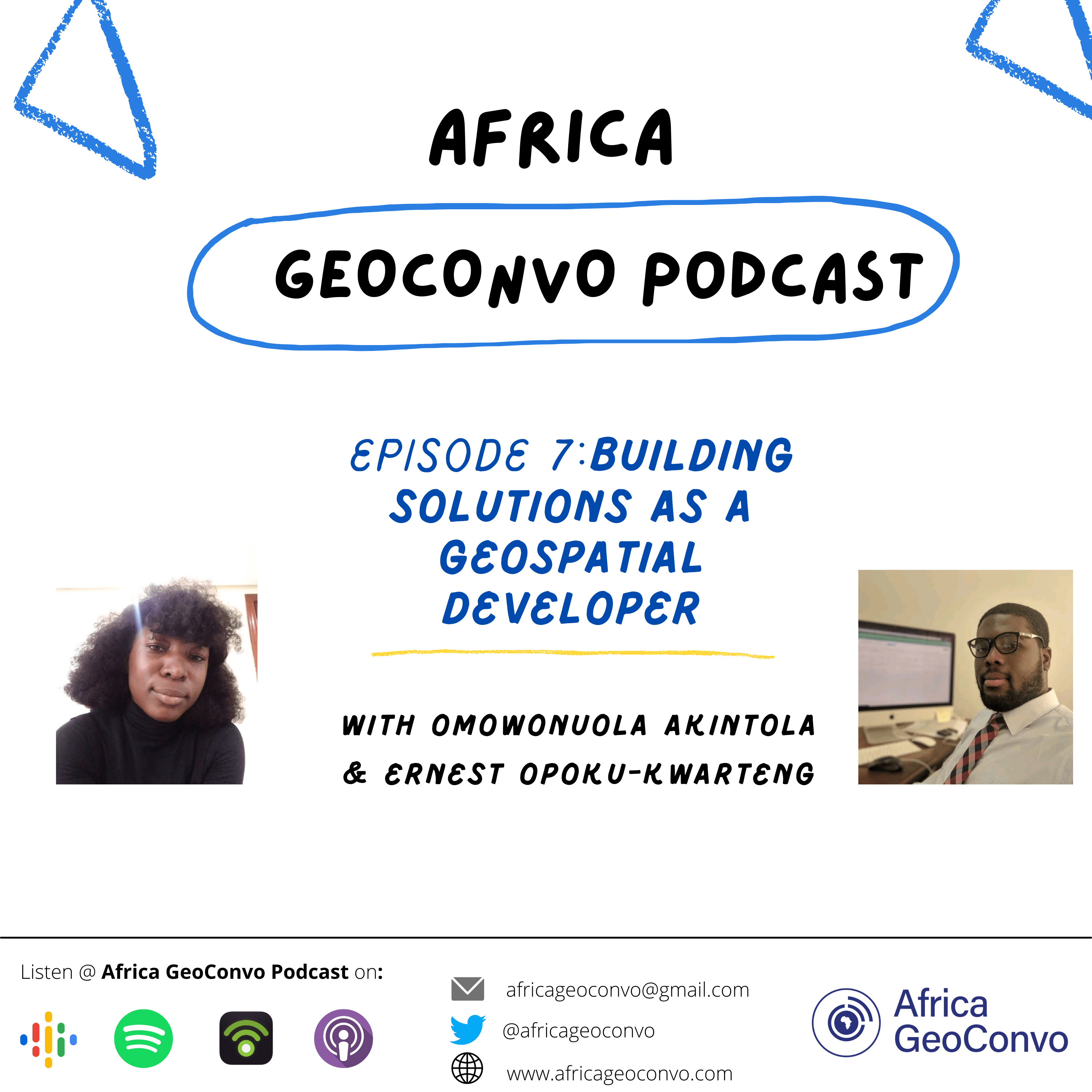
Building Solutions As A Geospatial Developer
Description
In this episode, our guest Ernest Opoku-kwarteng shares with us his journey from Geomatic Engineering to Application Development, talks about CERSGIS Ghana, and 2 amazing geospatial applications solving local issues in Ghana. Ernest is the head of the E-mapping and Innovation unit at CERSGIS, a software developer and he enjoys writing scripts and building applications.
Below are some of the links mentioned in the episode:
Mobile Application on Playstore. This application called Landscape-GH can be used to map and report illegal mining activities in Ghana.
Join the Africa Geospatial Developer group on LinkedIn to connect, learn and share ideas with other Developers from Africa.
If you want to get started with programming you can visit these website mentioned by Ernest - W3schools, Udemy , Coursera, Youtube

