Discover Updraft® - Minnesota Weather News - MPR News

933 Episodes
Reverse
Mild temperatures will close out the weekend, but a more active weather pattern is expected to develop early in the week.
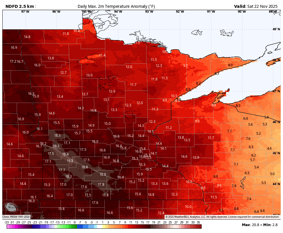
One more push of unseasonable warmth is settling in this weekend, sending highs into the 40s and 50s and running a solid 10 to 15 degrees above what late November typically delivers.
High pressure brings a return to sunshine Friday. The weekend will be mild before colder air moves in next week. A potential system could bring rain and snow Monday into Tuesday.
Look for a mix of clouds and sun Thursday. It will be mild with highs near 50 in southern Minnesota. High pressure brings sunshine Friday with a mild weekend ahead.
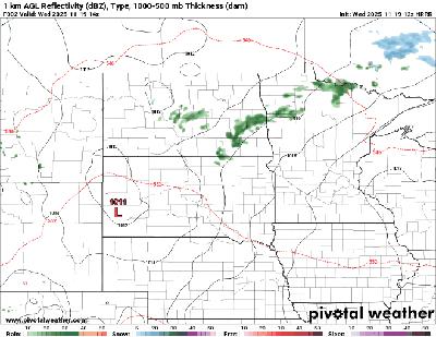
We’ll see lots of clouds Wednesday across the region. Northern and central Minnesota will see scattered showers develop. Thursday should be warmer and Friday should be brighter.
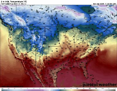
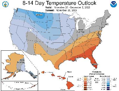
The season’s coldest air mass so far looks likely to arrive by Thanksgiving weekend.
Scattered rain and snow showers will dissipate Tuesday morning in southern Minnesota with decreasing clouds Tuesday afternoon. Afternoon highs will be in the 40s and 30s.
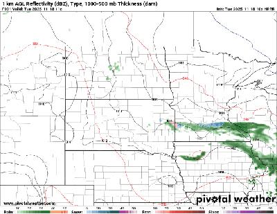
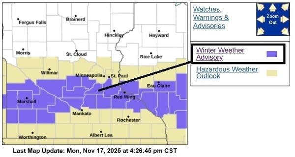
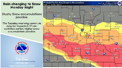
A messy weather system brings rain and possible slushy snowfall accumulations overnight into Tuesday morning. The favored accumulation zone runs from the southern Twin Cities southward to I-90.
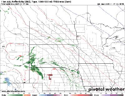
Cooler, more seasonable weather will persist this week. Minnesota will be grazed by a couple systems with the first bringing a wintry mix Monday night to southern Minnesota.
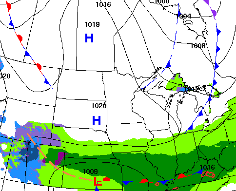
An early-week system is expected to bring a mix of rain and snow, with a very tight cutoff that may lead to big differences over short distances. Behind it, overall dry and seasonable weather will take shape for the remainder of the week.
Bright skies, light winds, and warmer temperatures wrap up the weekend, but a quick shift arrives Monday night when our next system could bring a wintry mix.
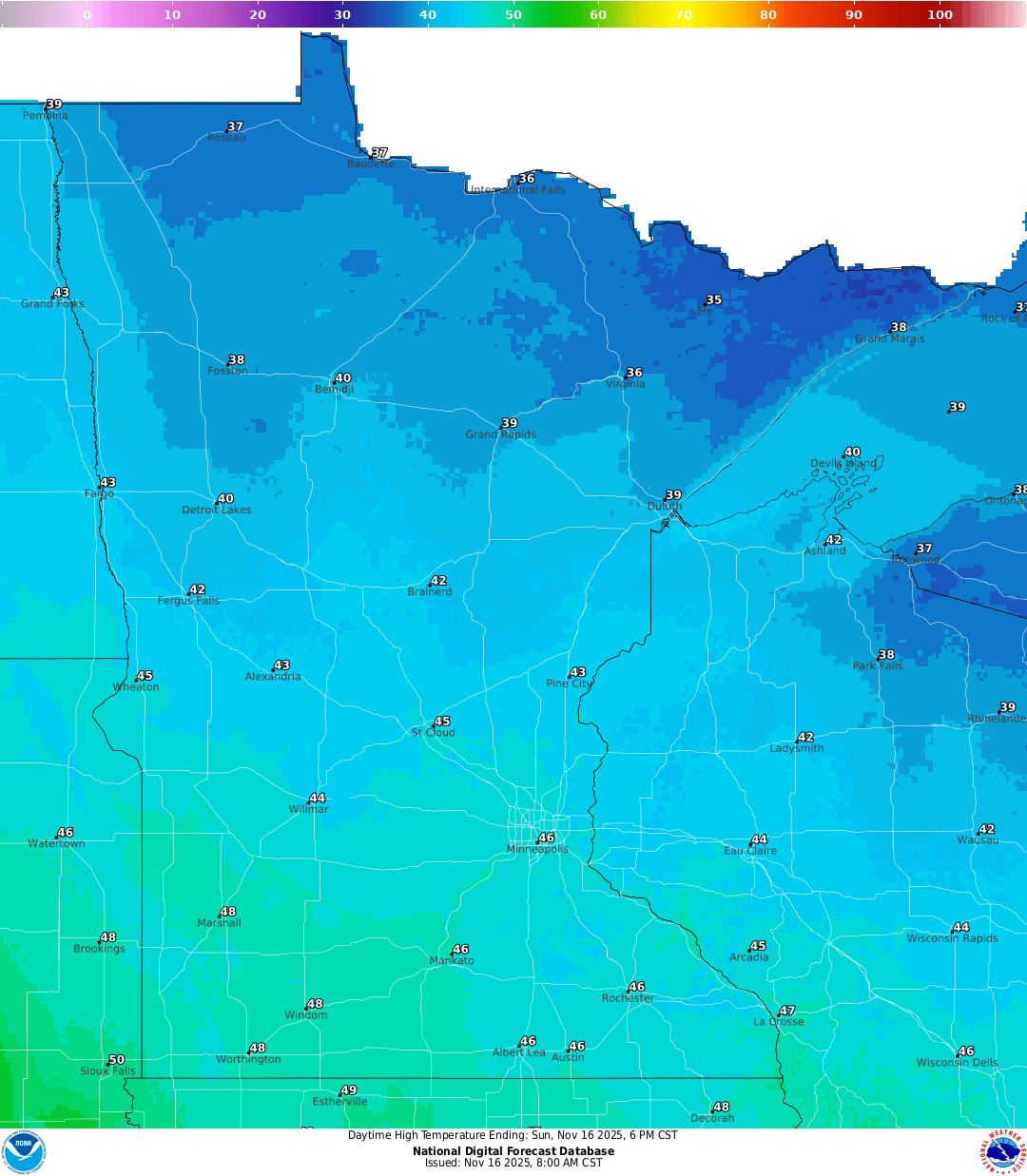
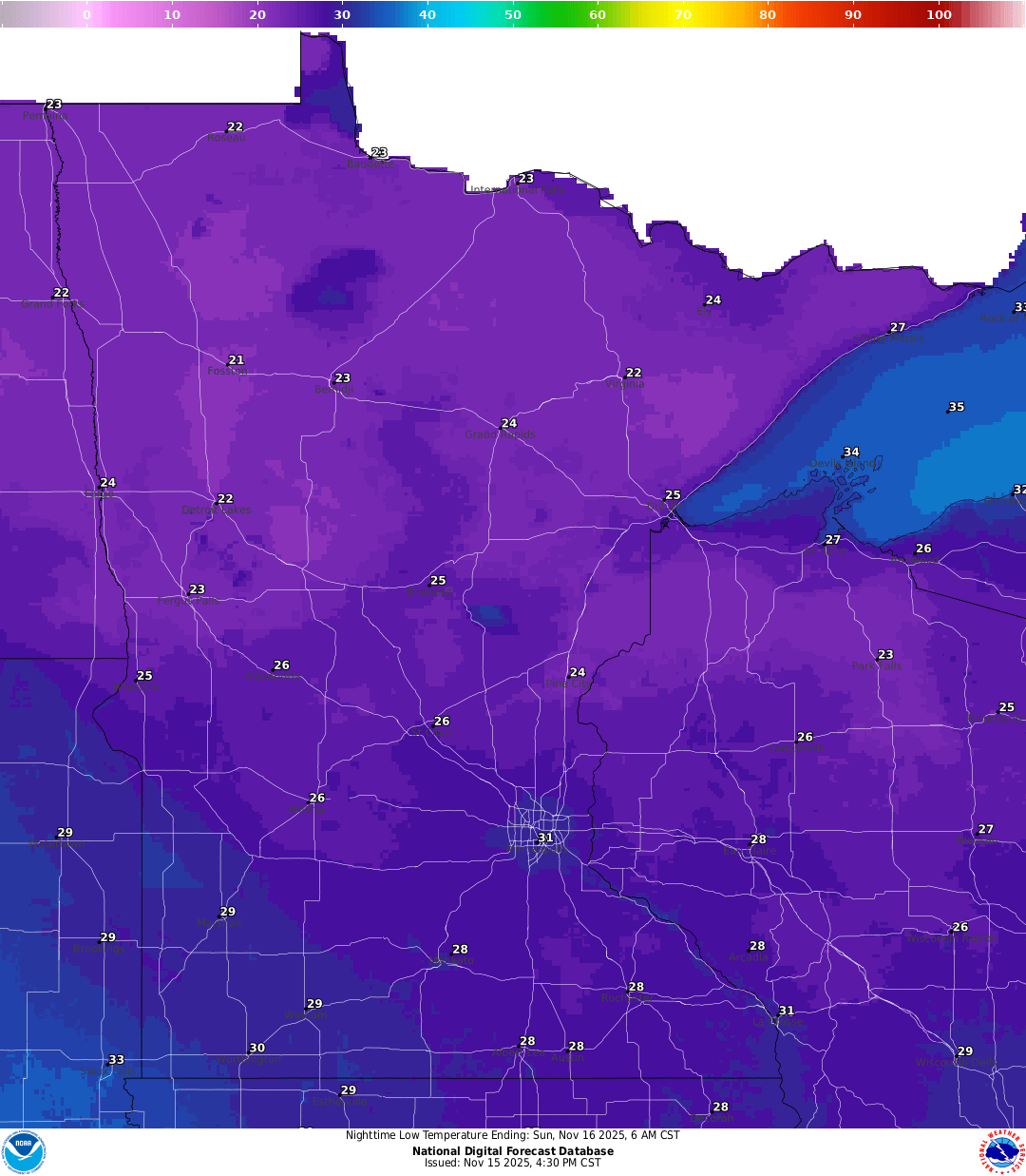
After winds ease tonight, we head into a quiet and seasonal Sunday, with temperatures trending a bit warmer than what’s typical for mid-November.
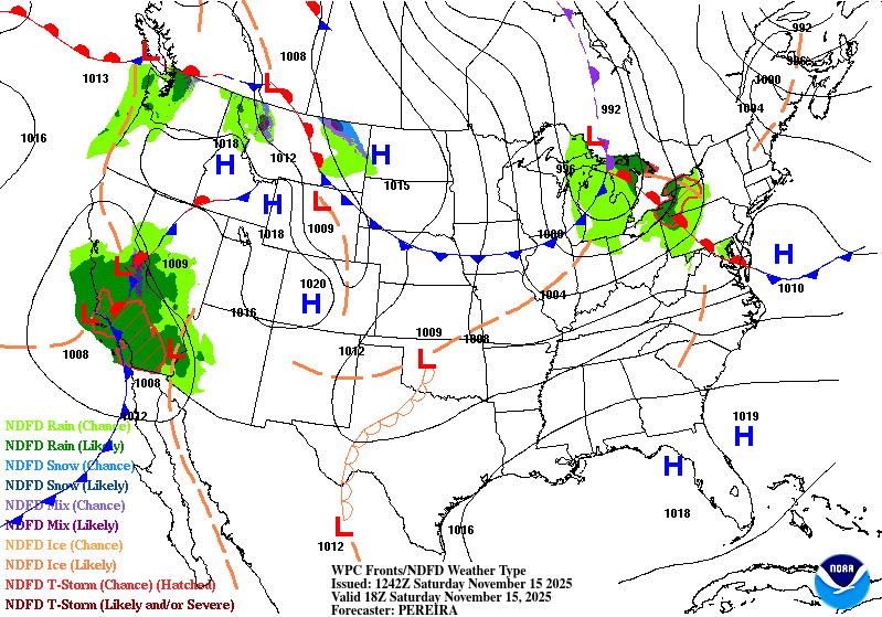
A cold front moved through the area Friday night, ushering in a cooldown that drops today’s highs 20–30 degrees from Friday’s record warmth.
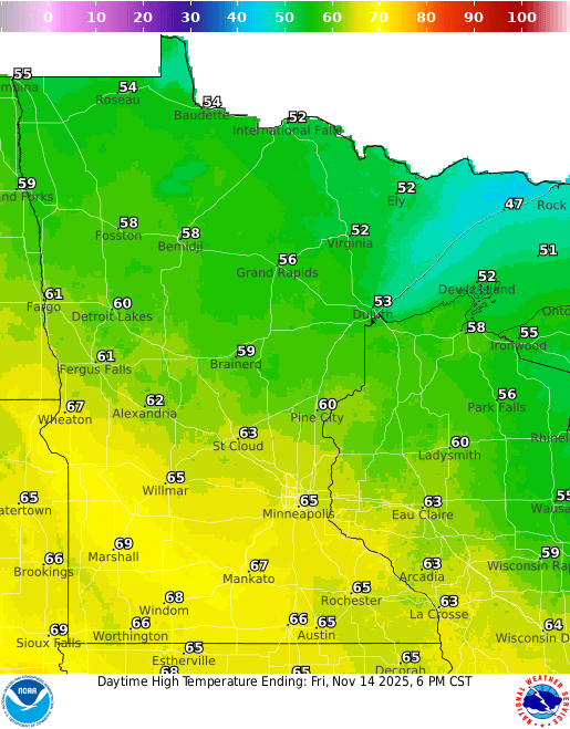
Anomalous warmth will peak Friday with highs well into the 60s across southern Minnesota. Some spots in southwestern Minnesota could reach nearly 70 degrees. A cold front moves through early Saturday.
Today will be another mild day with partly cloudy skies but lighter winds. Highs Friday will be in the 60s across southern Minnesota before colder air moves in this weekend.
Many Minnesotans saw a brilliant display of the auroras Tuesday night. It was the most intense activity since May 2024. Don’t put those cameras away yet. We could see the northern lights again Wednesday evening.
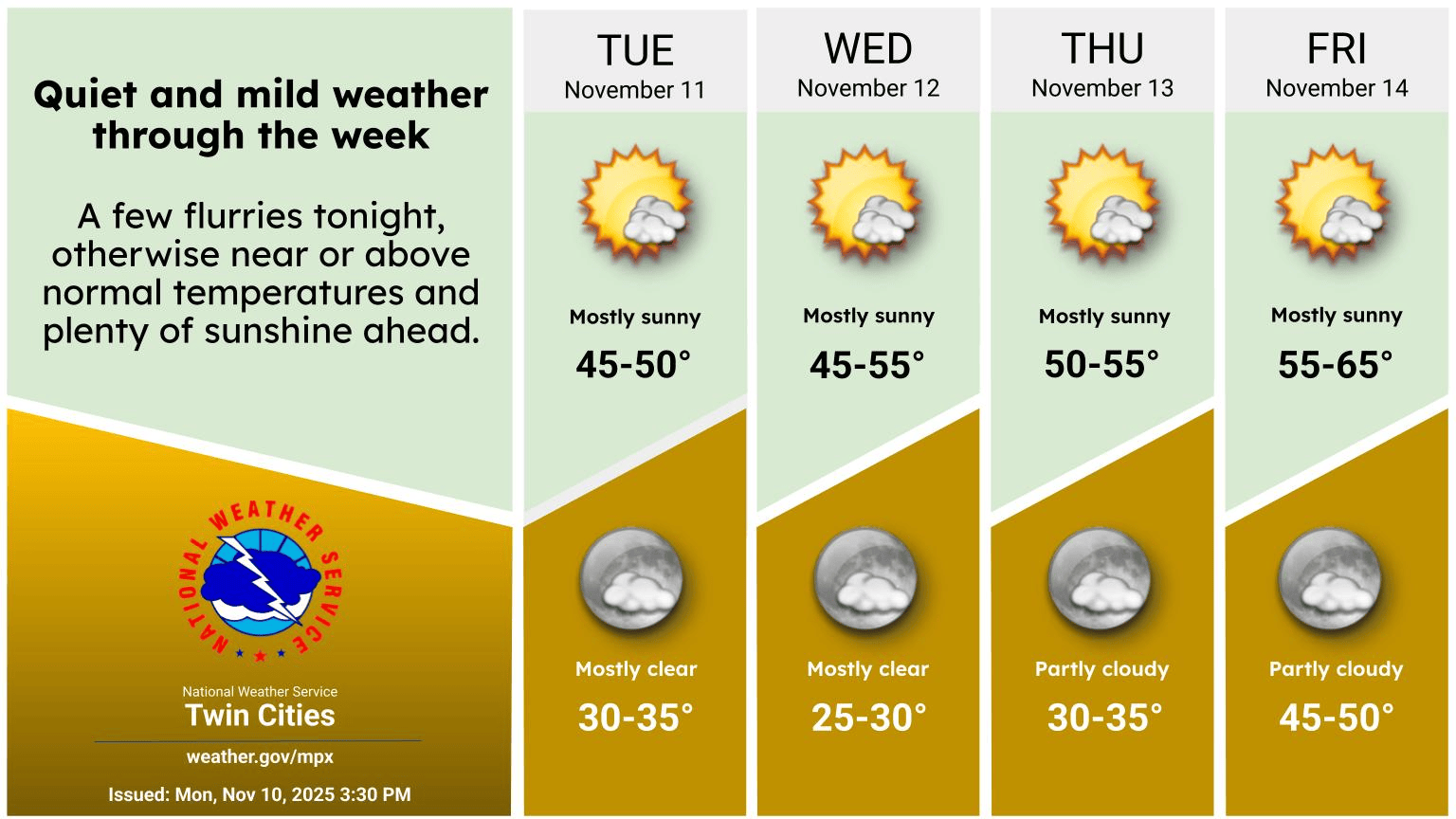
Look for sunshine with mild, breezy conditions Wednesday. Temperatures warm even more by the end of the week before a weekend cold front.
A pair of solar flares is headed toward Earth and could touch off a magnificent show of auroras Tuesday evening and overnight across Minnesota.
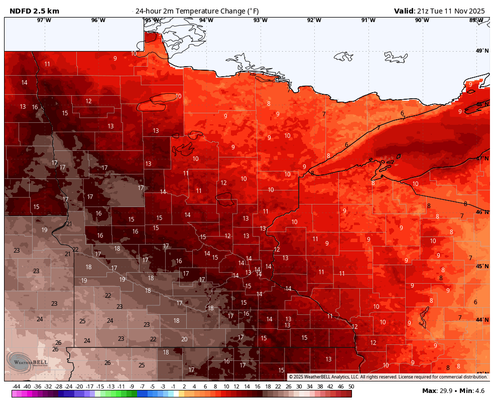
It’ll be warmer Tuesday and especially so by the end of the week. Clouds will decrease with more sun Wednesday and Thursday.
Southerly winds this week will push milder air into Minnesota as the week rolls on.


