


Halloween WX: Chilly with sprinkles, possible flakes
Description
It’s just hours now until a bunch of little ghouls and ghosties will show up at your door. The Halloween 2025 weather forecast looks seasonably chilly and slightly wet.
A low-pressure wave will spin south through Minnesota Friday. The system is not super strong, but it has enough oomph to produce a few occasional light showers and sprinkles.
It may be just cold enough about 5,000 feet above us to produce a few wet snowflakes from time to time. Thankfully, any snowflakes look spotty, but I won’t be shocked to see some reports of a few wet snowflakes reaching the ground Friday.
The National Oceanic and Atmospheric Administration’s FV3 model shows the blotchy rain and snow showers spinning through Friday. The forecast model loop below runs Friday between 7 a.m. and midnight.
<figure class="figure figure-none figure-full"><source type="image/gif" />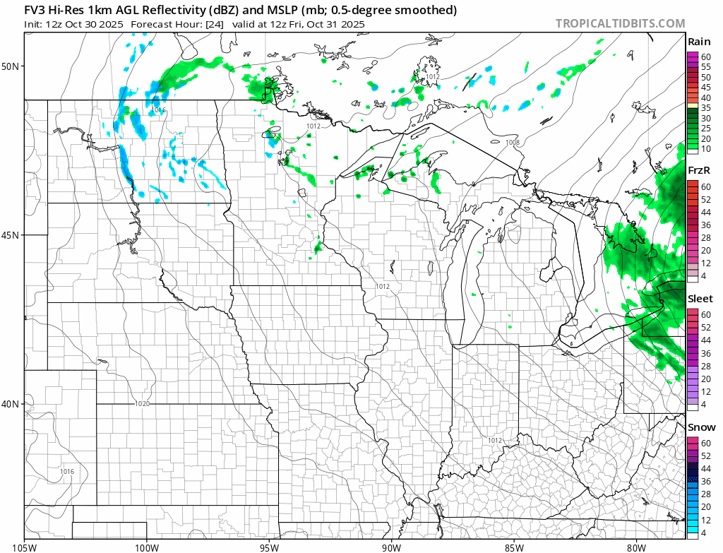 <figcaption class="figure_caption">
Temperatures Friday will hover in the low 40s across most of Minnesota. So make sure everyone is warm enough to stay out for a few hours Friday evening.
<figure class="figure figure-none figure-full"><source type="image/webp" /><source type="image/png" />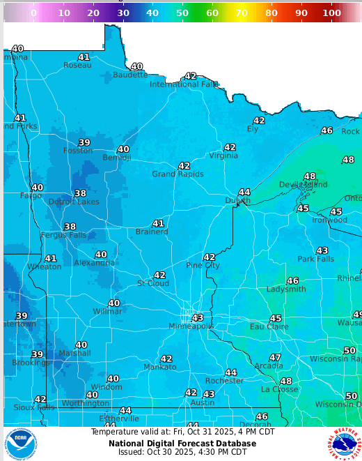 <figcaption class="figure_caption">
The weekend brings a mix of clouds and sun with highs in the 40s Saturday and 50s Sunday.
Milder next week
Next week looks slightly warmer. Highs in the 50s to near 60 degrees in the south return by Tuesday and Wednesday.
Here is the European Centre for Medium-Range Weather Forecasts model temperature output for next Wednesday afternoon:
<figure class="figure figure-none figure-full"><source type="image/webp" /><source type="image/png" /> <figcaption class="figure_caption">
Overall temperatures still look slightly milder than normal as we move into November. Right now, winter is still on the back burner for the next week or two, at least.
<figure class="figure figure-none figure-full"><source type="image/gif" />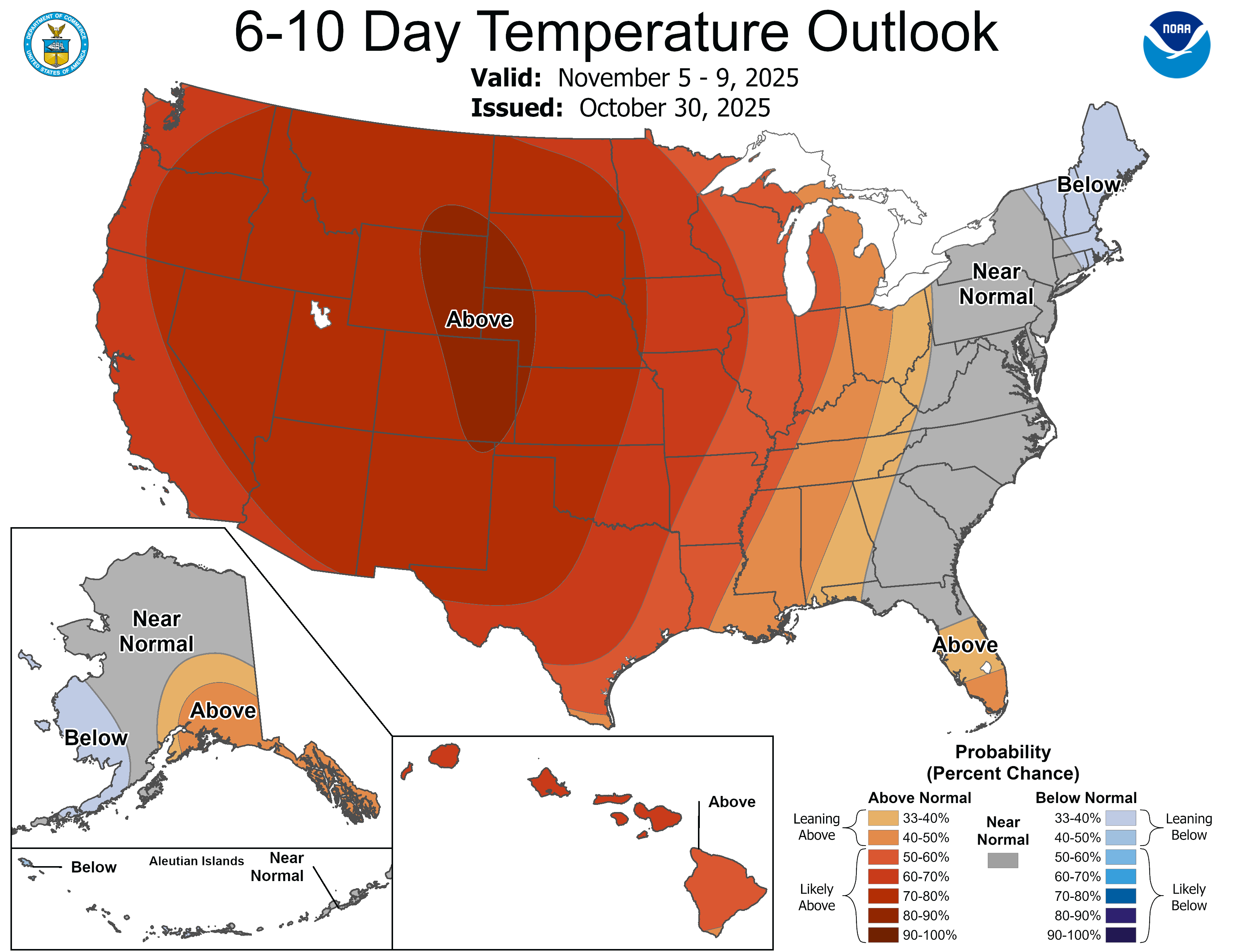 <figcaption class="figure_caption">
Stay tuned.


 United States
